The Shelly Company is using Kespry's drone-based aerial intelligence platform to measure contours to ensure it creates accurate quarry site plans.
The Ohio-based concrete and asphalt paving firm is also using the solution to determine accurate stripping calculations and ensure its vendor network plans for and delivers precise volumes and quotes.
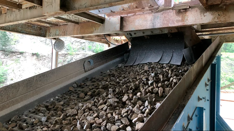
Shelly says that it is using Kespry to perform stripping surveys to validate the amounts of material that have been moved.
Inventory management involving updating unit weights and product volume is another activity Shelly performs with Kespry.
Chris Pike, performance manager at Shelly, says: “Using Kespry helps us make informed decisions and work closely with contractors to compare stripping quantities.
"This ensures that we are charged the correct amount. Kespry also gives us more control and increases efficiency.
"Once our drone lands from a 20 to 30-minute flight, the flight data is immediately uploaded to the Kespry Cloud for processing.
"This takes just a few hours, depending on the size of the mission data collected. We’re then able to view the images and client deliverables via the Kespry Cloud.
"This then allows our engineers and planners to provide quick turnaround of the data to all our key stakeholders.
"They usually want this information immediately and it’s great to be able to provide that information to them quickly.
"With Kespry, we’re able to sit in front of our stakeholders, run through the data, show them how the calculations were done, and identify any possible issues.
"Kespry has improved the comfort level and trust in the data.”
Kespry's CEO George Mathew says: “The Shelly Company can focus and deliver on its customers’ needs and expectations, with the knowledge that its vendors are working in lockstep and providing the materials they need, when they need them.”
Also, “Kespry has definitely improved safety,” Pike continues.
“It’s reduced the need to go near highwalls and crests, especially for mine planning purposes.
"It will eventually assist with our ongoing efforts to improve drilling and blasting safety by providing the ability to use drones to perform 3D face profiling.
"The same thing holds true for checking on the progression of a particular mine site.
"If we used our earlier ground survey techniques with GPS rovers, people would have to get near the toe and crest of a highwall, walk over unstable material or work in close proximity to mobile equipment, which is potentially unsafe.
"Kespry has really helped in that regard, too.”